Rothbury RSS
Walk 1 - Whitton Hillhead - Moderate Route
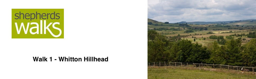

Distance: 4.8 miles (7.78 km)
Maps: Explorer OL42
Walking time: 2 ½ hours
Start and Finish point: Rothbury. Cowhaugh car park (NU 057015) situated next to the river Coquet. If you are entering Rothbury on the B6342 from the south (Cambo direction), turn left just before you cross the bridge as you approach Rothbury village centre. The car park is situated on your right.
Walk 2 - Cragside Carriageway Drive - Moderate Route
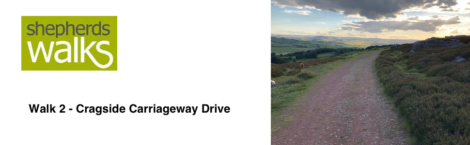

Distance: 5.5 miles
Maps: Explorer maps OL42 and 332
Walking time: 3 hours
Start and Finish point: Old Tourist Information Centre, Rothbury
Walk 6 - Rothbury Town Walk - Easy Route
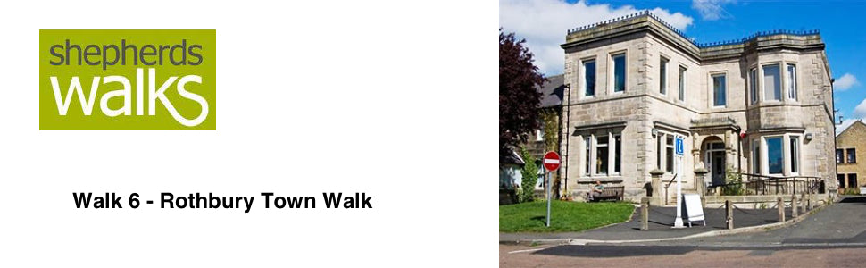

Walking time: Approximately 1 hours
Start and Finish point: Rothbury. Cowhaugh car park (Nu 057015) situated next to river Coquet. If you are entering Rothbury on the B6342 from the South (Cambo direction), turn left just before you cross the bridge as you approach Rothbury village centre.
Children: I researched this walk with my daughter asleep in her pram. Therefore I would say it is suitable for children of all ages. The route involves crossing stepping stones, which may be a problem with a pram or younger children. There is however, an alternative route by using the road bridge a little way down river.
Walk 26 - The Valley of Rothbury - Difficult Route
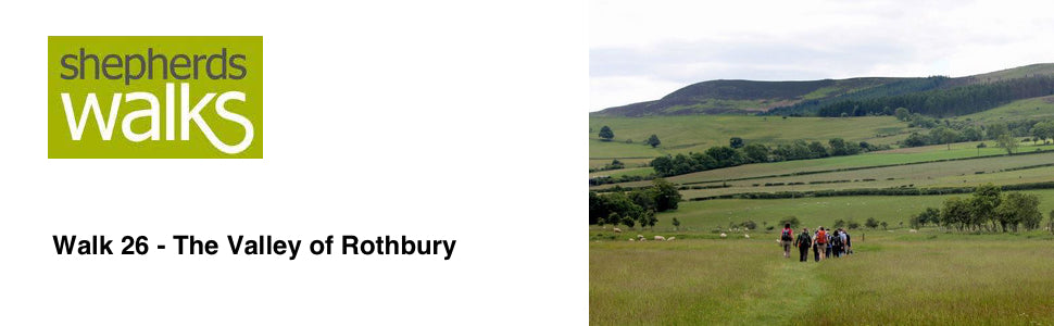

Maps: Explorer maps OL42 and 332
Walking time: 5 hours
Start and Finish point: Rothbury. Cowhaugh car park (Grid ref - NU 057015) situated next to the river Coquet. If you are entering Rothbury on the B6342 from the south (Cambo direction), turn left just before you cross the bridge as you approach Rothbury village centre. The car park is immediately on your right, next to the river.
Walk 32 - Carriageway Drive - Above Rothbury - Moderate Route
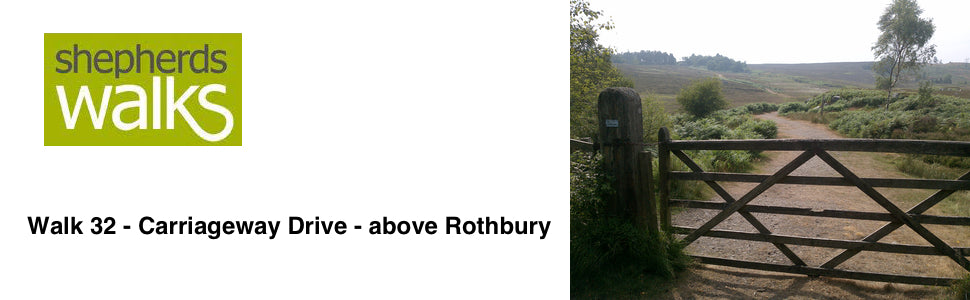

Distance: 4 miles (6.4 km)
Maps: Explorer maps OL42 and 332
Walking time: 3 hours
Start: Rothbury. Cowhaugh car park
Tags
- All
- Alnwick
- Alwinton
- Amble
- Barrowburn
- Beach
- Bellingham
- Bolam Lake
- Broadstruther
- Budle Bay
- Cambo
- Carey Burn
- Carriageway Drive
- Cheviot
- Cheviot Hills
- College Valley
- Coquetdale
- Dunstanburgh Castle
- Edlingham
- Fontburn
- free
- Hadrians Wall
- Happy Valley
- Harbottle
- Hareshaw Linn
- Hartburn
- Harwood
- Hauxley
- Hexham
- Ingram
- Kielder
- Lemmington
- linear walk
- Lordenshaws
- Mitford Castle
- Morpeth
- Mtford
- Northumberland
- Northumberland Coast Path
- Northumberland Walking
- Pastures
- Rothbury
- Rothbury Trenches
- Shaftoe Crags
- Shepherds Walks
- Simonside
- St Cuthbert's Cave
- The Cheviot
- The Schil
- Town Walk
- Usway Burn
- Uswayford
- walking guide
- Wallington
- Warkworth
- West Dipton Burn
- Whitton Hillhead
- Windy Gyle