
Simonside RSS
Walk 3 - Simonside - Difficult Route
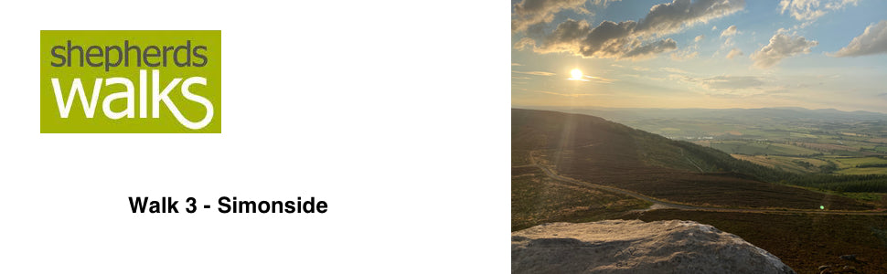

Distance: 9 miles (13 km)
Maps: Explorer OL42
Walking time: 5 hours
Start and Finish point: Rothbury. Cowhaugh car park (Nu 057015) situated next to river Coquet. If you are entering Rothbury on the B6342 from the South (Cambo direction), turn left just before you cross the bridge as you approach Rothbury village centre.
Walk 5 - Lordenshaws - Moderate Route
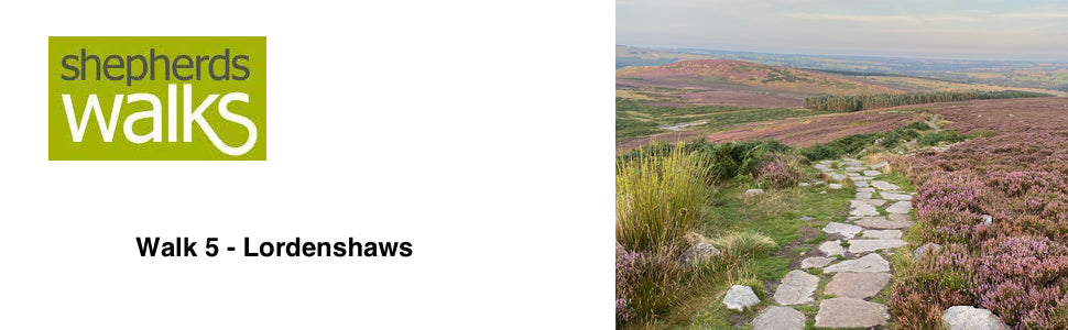

Distance: 7.5 miles (12 km)
Maps: Landranger 81 or Explorer OL42
Walking time: 2 ¾ hours
Start and Finishing point: Lordenshaws car park (NZ 053988). This is a Northumberland National Park car park. If you are approaching from Rothbury on the B6342 turn first right (signposted Simonside 2), about 2 ½ miles out of the village centre. The car park is a little way up this road on your right.
Walk 26 - The Valley of Rothbury - Difficult Route
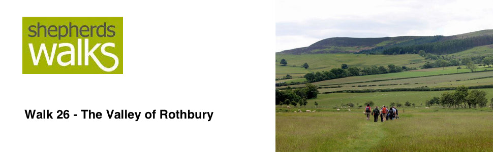

Distance: 10 miles (15 km)
Maps: Explorer maps OL42 and 332
Walking time: 5 hours
Start and Finish point: Rothbury. Cowhaugh car park (Grid ref - NU 057015) situated next to the river Coquet. If you are entering Rothbury on the B6342 from the south (Cambo direction), turn left just before you cross the bridge as you approach Rothbury village centre. The car park is immediately on your right, next to the river.
Maps: Explorer maps OL42 and 332
Walking time: 5 hours
Start and Finish point: Rothbury. Cowhaugh car park (Grid ref - NU 057015) situated next to the river Coquet. If you are entering Rothbury on the B6342 from the south (Cambo direction), turn left just before you cross the bridge as you approach Rothbury village centre. The car park is immediately on your right, next to the river.