Skip to content
Search
Home
Store
Self led walking guides - booklets
Navigational equipment
Headtorches and torches
Outdoor Portable Cooking Stoves & Accessories
Outdoor Power Packs
Waterproof cases for the outdoors
Nordic Walking - equipment
Long Distance trails - guidebooks
Maps
Waterproof Notepads
Clothing
Capricorn Mohair Socks
GPS Unit sales (GPS Training)
GPS watch sales (GPS Training)
Christmas Gift Bundles - 2025
Events and Courses
Walking Holidays
GPS Training
More
Self led walking guides - Northumberland - FREE downloads
News
Long distance walking trails
Blogs - Guided walks
Training Planner
About Shepherds Walks
Live Weather - Northumberland
Capricorn Mohair Socks
OS route planner
Northumberland Coast Challenge Walk/ Run - Event website
Northern Pennine Way Challenge Walk/ Run - event website
Cheviot Round
Contact
Account
Site navigation
Search
Search
Cart
Menu
Site navigation
Home
Store
Self led walking guides - booklets
Navigational equipment
Headtorches and torches
Outdoor Portable Cooking Stoves & Accessories
Outdoor Power Packs
Waterproof cases for the outdoors
Nordic Walking - equipment
Long Distance trails - guidebooks
Maps
Waterproof Notepads
Clothing
Capricorn Mohair Socks
GPS Unit sales (GPS Training)
GPS watch sales (GPS Training)
Christmas Gift Bundles - 2025
Events and Courses
Walking Holidays
GPS Training
More
Self led walking guides - Northumberland - FREE downloads
News
Long distance walking trails
Blogs - Guided walks
Training Planner
About Shepherds Walks
Live Weather - Northumberland
Capricorn Mohair Socks
OS route planner
Northumberland Coast Challenge Walk/ Run - Event website
Northern Pennine Way Challenge Walk/ Run - event website
Cheviot Round
Contact
Account
Item added to cart.
View cart and check out
.
Close
Close
Free delivery with all orders over £25.00
Close
Maps
Ordnance Survey maps, Harvey maps and other outdoor maps showing footpaths, bridleways, long distance trails for the walker and cyclist.
Sort by
Featured
Most relevant
Best selling
Alphabetically, A-Z
Alphabetically, Z-A
Price, low to high
Price, high to low
Date, old to new
Date, new to old
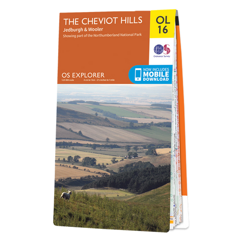
OL16 Explorer Map - The Cheviot Hills
Regular price
£9.99
Sale price
£4.99
Sale
View
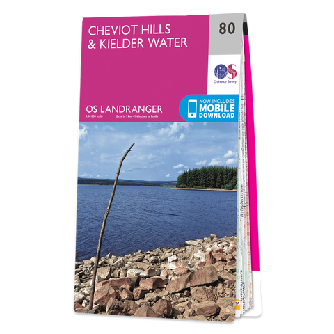
80 Landranger Map - Cheviot Hills & Kielder Water
Regular price
£8.99
Sale price
£5.39
Sale
View
Lindisfarne Holy Island - Visitor Map & Guide
Regular price
£4.99
View
Harvey Maps - Northumberland Coast Path & Berwickshire Coastal Path - UPDATED 2023
Regular price
£14.95
View
340 Explorer Map - Holy Island & Bamburgh
Regular price
£9.99
Sale price
£5.39
Sale
View
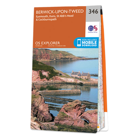
346 Explorer Map - Berwick Upon Tweed
Regular price
£9.99
Sale price
£5.39
Sale
View
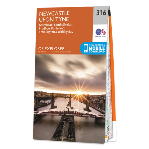
316 Explorer Map - Newcastle Upon Tyne
Regular price
£9.99
Sale price
£5.39
Sale
View
OL43 Explorer Map - Hadrians Wall
Regular price
£9.99
Sale price
£5.39
Sale
View
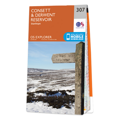
307 Explorer Map - Consett & Derwent Reservoir
Regular price
£9.99
Sale price
£5.39
Sale
View
Harvey Maps - St Cuthbert's Way
Regular price
£14.95
View
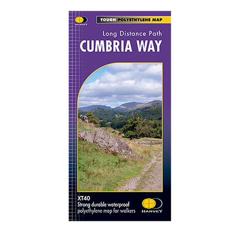
Harvey Maps - Cumbria Way
Regular price
£14.95
View
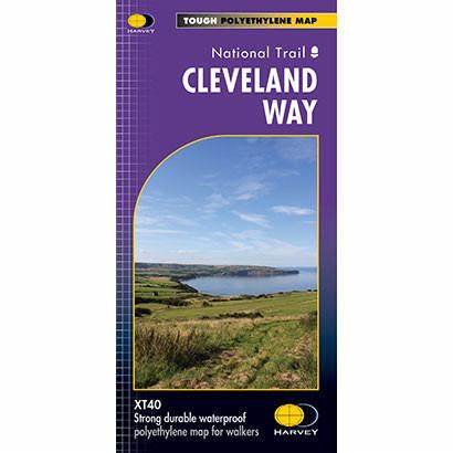
Harvey Maps - Cleveland Way
Regular price
£14.95
View
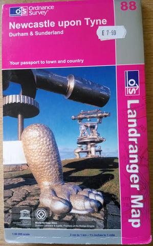
88 Landranger Map - Older 2007 Edition - Newcastle Upon Tyne
Regular price
£7.99
Sale price
£2.50
Sale
View
Harvey Maps - St Oswald's Way
Regular price
£14.95
View
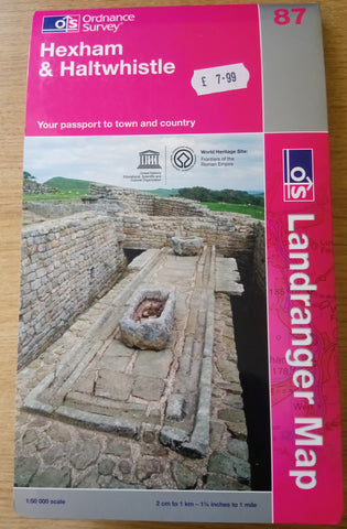
87 Landranger Map - Older 2009 Edition - Hexham & Halwhistle
Regular price
£7.99
Sale price
£2.50
Sale
View
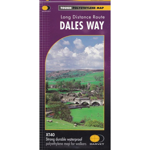
Harvey Maps - Dales Way
Regular price
£14.95
View
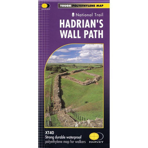
Harvey Maps - Hadrian's Wall Path
Regular price
£14.95
View
Choosing a selection results in a full page refresh.
Press the space key then arrow keys to make a selection.
Use left/right arrows to navigate the slideshow or swipe left/right if using a mobile device