


The Entire route on one map
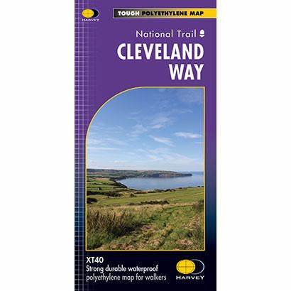
The Cleveland Way National Trail is 174km (109 miles) from Helmsley across the North York Moors National Park to Saltburn and then along the coast via Scarborough, ending at Filey.
Tough, light, durable and 100% waterproof
Includes Rights of Way
Route clearly marked
ISBN: 9781851374892
Harvey 2024 Edition
Technical Specification
Scale: 1:40,000
Ratio: 2.5cm = 1km
Flat size: 696 x 486mm
Folded size: 116 x 243mm
Weight: 35gms
Double sided