


The Entire route on one map
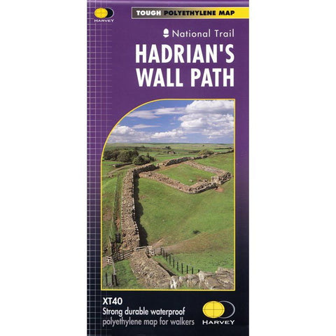
Hadrian’s Wall Path is a National Trail and runs 130km (81 miles) from the Solway Coast to Newcastle.
The sites of Roman remains are marked on the map, with an enlargement of Housesteads.
Tough, light, durable and 100% waterproof
Includes Rights of Way
Genuine original HARVEY mapping
Route clearly marked
ISBN: 978185134380
Harvey 2023 Edition
Technical Specification
Scale: 1:40,000
Ratio: 2.5cm = 1km
Flat size: 696 x 486mm
Folded size: 116 x 243mm
Weight: 35gms
Double sided