walking guide RSS
Walk 23 - The Ingram Horseshoe - Moderate Route
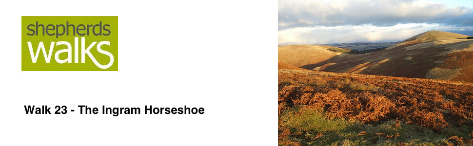

Distance: 5 miles (8 km)
Maps: Explorer OL16 and Explorer 332
Walking time: 3 hours
Start and Finish point: National Park Bridge car park, Ingram (grid ref. NU 018163). From the A697, turn left approximately 1 mile north of Powburn (signed - Brandon 1, Ingram 3, Linhope 6). Follow this road for 3 miles before turning left into the National Park car park (immediately over the second bridge you cross).
Walk 24 - West Dipton Burn - Moderate Route
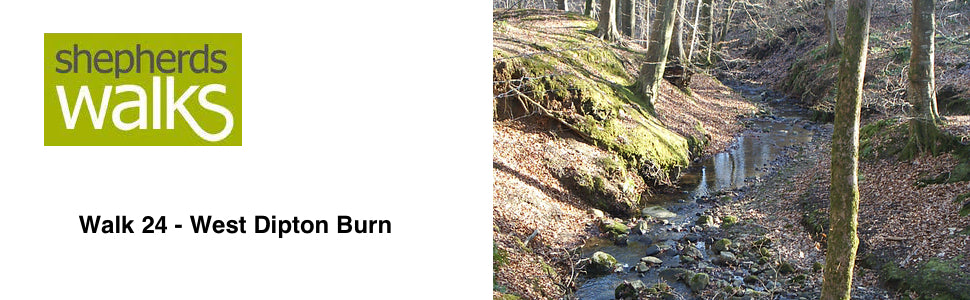

Distance – 4 miles (km).
Maps – Explorer OL43
Walking time – 2 ½ hours.
Star and finish point – Letah wood car park (grid reference - NY 943608). If you are driving up Hexham high street (heading west) turn left B6306 (road sign – Blanchland). As the road bends around to the left, you turn right (road sign – Dye House 3 ¾ , Whitley Chapel 5 ) and then the first left (road sign – Whitley Chapel 5, Dye House 4, Ordley 3). Continue along the road for a little while and take the second right (just after Mill Barn). There is a car park for two cars immediately on your left. If this is full there are two large lay-bys a little further up the road.
Walk 35 - Edlingham and Lemmington - Moderate Route
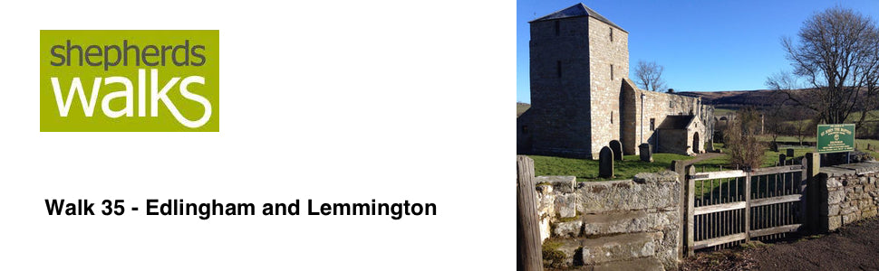

Maps: Explorer 332
Walking time: 3 hours
Start: Edlingham Church
Walk 36 - Edlingham to Alnwick - Moderate Route
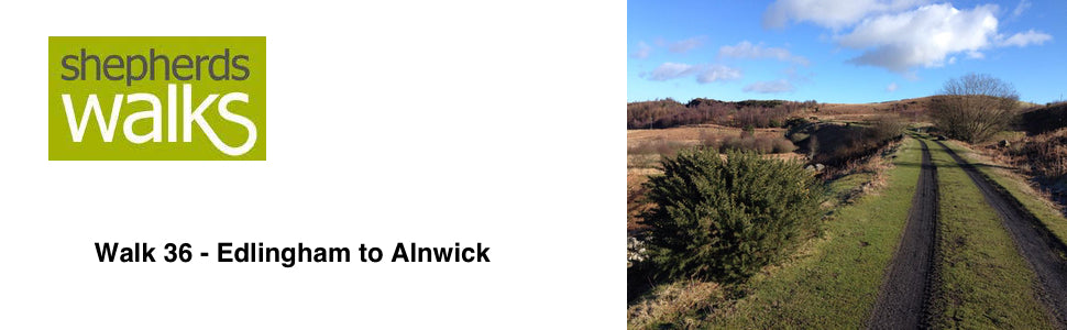

Maps: Explorer 332
Walking time: 4 hours
Start: Edlingham Road End (catch bus from Alnwick) then you will walk back to Alnwick (grid ref (Edlingham road end) - NU118088)
Tags
- All
- Alnwick
- Alwinton
- Amble
- Barrowburn
- Beach
- Bellingham
- Bolam Lake
- Broadstruther
- Budle Bay
- Cambo
- Carey Burn
- Carriageway Drive
- Cheviot
- Cheviot Hills
- College Valley
- Coquetdale
- Dunstanburgh Castle
- Edlingham
- Fontburn
- free
- Hadrians Wall
- Happy Valley
- Harbottle
- Hareshaw Linn
- Hartburn
- Harwood
- Hauxley
- Hexham
- Ingram
- Kielder
- Lemmington
- linear walk
- Lordenshaws
- Mitford Castle
- Morpeth
- Mtford
- Northumberland
- Northumberland Coast Path
- Northumberland Walking
- Pastures
- Rothbury
- Rothbury Trenches
- Shaftoe Crags
- Shepherds Walks
- Simonside
- St Cuthbert's Cave
- The Cheviot
- The Schil
- Town Walk
- Usway Burn
- Uswayford
- walking guide
- Wallington
- Warkworth
- West Dipton Burn
- Whitton Hillhead
- Windy Gyle