Self led walking guides - Northumberland - FREE downloads RSS
Walk 11 - Hareshaw Linn - Easy Route
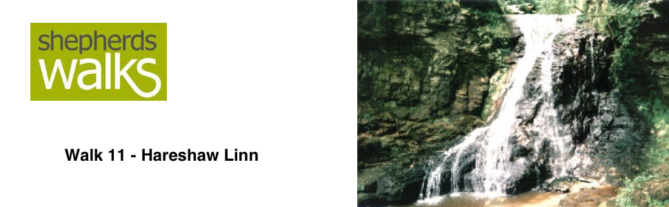

Distance: 3 miles (4.8 km)
Maps: Landranger 80 or Explorer OL42
Walking time: 2 hours
Start and Finish point: Hareshaw Linn National park car park in Bellingham (Ny 840835). From Bellingham Main Street turn up the Redesmouth and West Woodburn road. Immediately after the bridge, opposite the police station and garage turn left. The car park is up on your left.
Walk 12 - Dunstanburgh Castle - Moderate Route
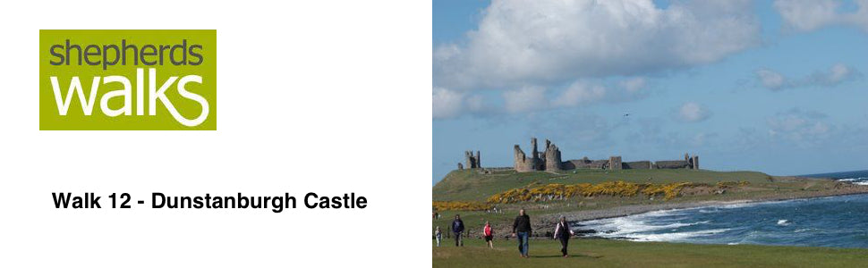

Distance: 5.9 miles (9.5 km)
Maps: Landranger 75 and 81 or Explorer 332
Walking time: 2 hours
Start and Finish point: Craster Quarry car park. This is a pay and display car park (Nu256197) where there is toilets and Tourist Information Centre present.
Walk 13 - Hadrian's wall - Moderate Route
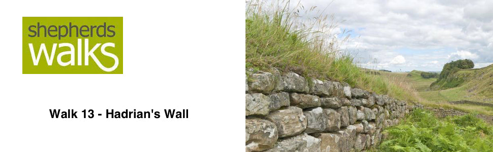

Distance: 4 miles (6.4 km)
Maps: Landranger 87 or Explorer OL43
Walking time: 2 hours
Start and Finish point: Steel Rigg car park (NY 751676), situated about a half mile to the North of Once Brewed on the B6318 Newcastle to Haltwhistle road.
Walk 14 - Kielder Water - Moderate Route
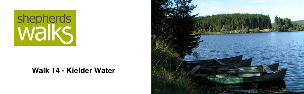

Distance: 8.5 miles
Maps: Explorer OL42
Walking time: 4 hours
Start and Finish point: Hawkhope car park (NY 708883), situated at the northern end of Kielder dam. You access the car park by driving along the top of the dam, which is a great experience to start with. It is a pay and display car park with accessible toilets.
Walk 15 - The Cheviot - Difficult Route
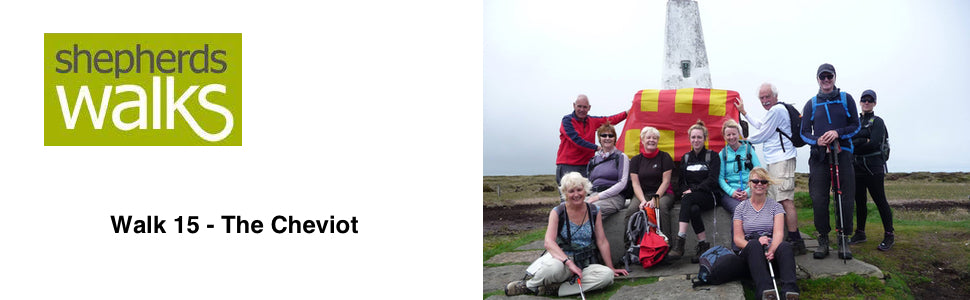

Distance: 12.4 miles (20 km)
Maps: Explorer OL16
Walking time: 4 ½ hours
Start and Finish point: The top end of the Harthope Burn valley (NT958228). Pass through Wooler and follow the signs for the valley. Proceed up the valley passing Langlee on the left across the burn, until you reach a sign marking the parking limit for cars. Park directly here for free or there is a flat piece of ground just back 20 yards.
Tags
- All
- Alnwick
- Alwinton
- Amble
- Barrowburn
- Beach
- Bellingham
- Bolam Lake
- Broadstruther
- Budle Bay
- Cambo
- Carey Burn
- Carriageway Drive
- Cheviot
- Cheviot Hills
- College Valley
- Coquetdale
- Dunstanburgh Castle
- Edlingham
- Fontburn
- free
- Hadrians Wall
- Happy Valley
- Harbottle
- Hareshaw Linn
- Hartburn
- Harwood
- Hauxley
- Hexham
- Ingram
- Kielder
- Lemmington
- linear walk
- Lordenshaws
- Mitford Castle
- Morpeth
- Mtford
- Northumberland
- Northumberland Coast Path
- Northumberland Walking
- Pastures
- Rothbury
- Rothbury Trenches
- Shaftoe Crags
- Shepherds Walks
- Simonside
- St Cuthbert's Cave
- The Cheviot
- The Schil
- Town Walk
- Usway Burn
- Uswayford
- walking guide
- Wallington
- Warkworth
- West Dipton Burn
- Whitton Hillhead
- Windy Gyle