
4 self led walking guides with detailed maps. These walking guides will be posted out to you.
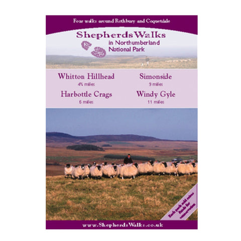
- Whitton Hillhead – 5 miles
This is a nice gentle walk that climbs up to 212 metres (700 ft) at Whitton Hillhead where beautiful views of the Simonside hills can be seen.Before you reach Whitton Hillhead you pass the Sharp's Folly which was built for astrological research in the 18th century. As you continue on from there you are presented with some picturesque views looking down on the small town of Rothbury.You then drop back down and follow the River Coquet as it winds its way into Rothbury. The walk is mostly good under foot but strong shoes are recommended.
- Harbottle Crags – 6 miles
This lovely walk explores the Harbottle Crags, a nature reserve managed by Northumberland Wildlife Trust. From the summit of the crags you are treated to some spectacular views of the quaint village of Harbottle situated down below.After you descend through a wooded section you follow a track where again the views of the Cheviot Hills in the distance takes your breath away. You then return back in to the village following the Border County Ride, which takes in a restored Lime Kiln before dropping back down to the River Coquet with it's abundance of wildlife.
- Simonside – 9 miles
This is a pleasant walk suitable for the experienced walker. Strong shoes are required and waterproofs essential as the weather can soon change on the high ridges of Simonside.The walk begins on the beautiful Garleigh moors and then gently climbs to an altitude of 429 metres (1500 feet) at the summit of Simonside. From here you will see what I think are some of the most breathtaking views of Northumberland, with the Cheviots away to the North and Fontburn Reservoir to the South. On a clear day the coast can clearly be followed.The walk ends by following the River Coquet as it winds its way into Rothbury.
- Windy Gyle – 11 miles
This is my all time favourite walk in Northumberland. I never get tired of walking Windy Gyle. Apart from the Cheviot itself it must be one of the most known summits in Northumberland but luckily its relative isolation seems to keep a lot of people away.This wonderful route follows 'The Street', an old drovers road to the border fence between England and Scotland. You follow the border fence, then cross over into Scotland to reach the summit of Windy Gyle. You keep your height here for a while following the Pennine Way and the border fence. You descend down 'Clennell Street', another drover's road that has been worn away over many centuries.