
Drone footage from the Northern Pennine Way Challenge Walk
Drone footage from the Northern Pennine Way Challenge Walk, Cheviot Hills - Challenge Walk.
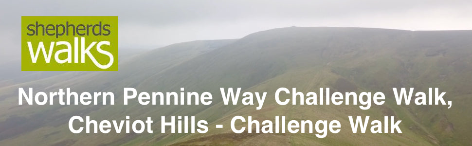
A superb 18-mile challenge walk taking in the finest part of both the Pennine Way and also the top end of the Coquet Valley, in the Cheviot Hills.
After registering at Linbriggs Farm, near to Alwinton in the Coquet Valley the participants got bussed the 10 miles up the valley to Chew Green.
From here, at the start of the Northern Pennine Way Challenge Walk, Cheviot Hills they joined the Pennine Way.
First, firstly skirting Chew Green and following the Pennine Way as it follows the border fence, between Scotland and England, passing over Black Halls before reaching Checkpoint 1 at Lamb Hill refuge hut.
Then they climbed Lamb Hill, Beefstand Hill, and Mozie Law before climbing the mighty Windy Gyle.
After Windy Gyle they continue to follow the Pennine Way until reaching Clennell Street. From here the participants started dropping down to Checkpoint 2 located just before The Middle.
After passing over The Middle they dropped down to Fairhaugh before following the beautiful Usway Burn down to Shillmoor.
Here it was a short walk back to Linbriggs Farm, the finish of the challenge walk.
Whilst researching and putting together this all-new challenge walk I believe we have put together one of the most stunning 18-mile walks in the region and with the transfer at the start you have just 1,800 feet of climbing whilst you experience some of the best summits and walking The Cheviot hills has to offer.
Kevin Watson
Fantastic walk with beautiful scenery and very well organised. Thank you all responsible for taking the time out to make this a day to remember and not forgetting keeping us all safe during this challenge.