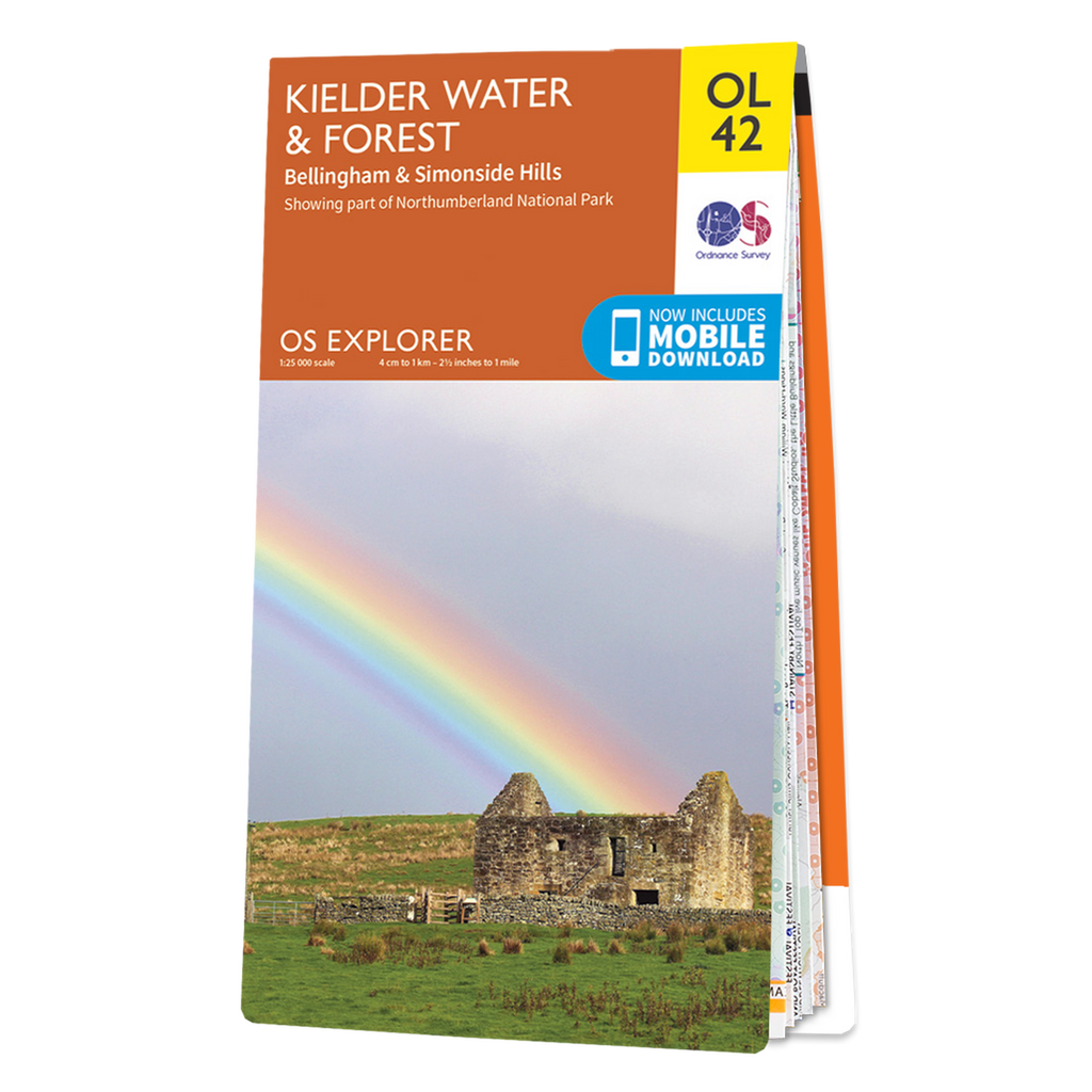


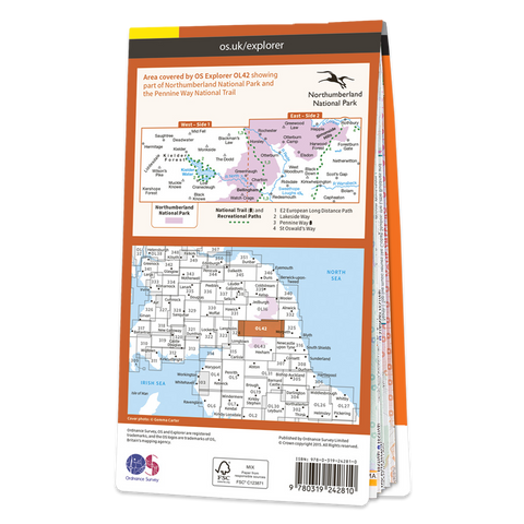


The OS Explorer map of Kielder Water & Forest, including Bellingham and Simonside Hills.
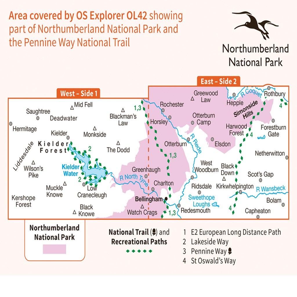
This map is a must-have when visiting the area, it covers an area of Northumberland National Park, stretching from Kielder Forest in the West to Netherwitton in the east, and takes in the town of Bellingham. Other features of this map include Bloody Bush & Larriston Fells Walk around Kielder water, The Pennine way National Trail, and St Oswald's Way.
OS Explorer maps are perfect for day-tripping, extensive hikes, and cycling.
This map also comes with a free digital download, so you can access it across your devices, making for a convenient companion.
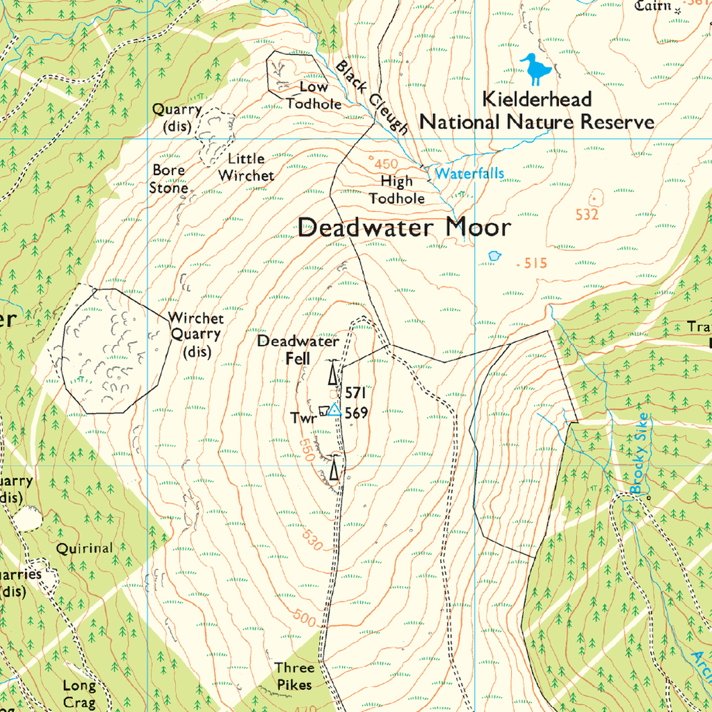
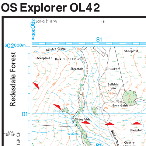
Explorer 1:25,000 Scale
Every 4cm on the map is 1km, making our leisure selection the most detailed maps; perfect for activities such as walking, running, and cycling.