


Entire route on one map
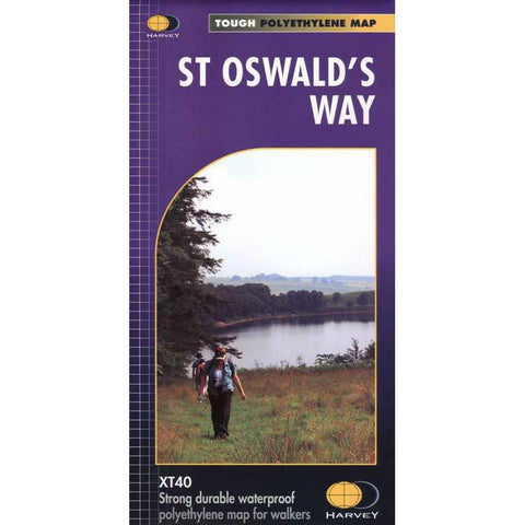
From Holy Island to Heavenfield, the 156km (97 miles) St Oswald's Way links some of the places associated with St Oswald who was the King of Northumbria in the early 7th century.
The route runs through the Northumbria National Park following the stunning Northumberland Coast before heading inland across beautiful countryside to Heavenfield. It links with St Cuthbert's Way in the north and Hadrian's Wall Path in the south.
Along the way you will encounter rolling farmland, villages, vast sandy beaches and fascinating history.
Tough, light, durable and 100% waterproof
Includes Rights of Way
Genuine original HARVEY mapping
Route clearly marked
Technical Specification
Scale: 1:40,000
Ratio: 2.5cm = 1km
Flat size: 972 x 700mm
Folded size: 116 x 243mm
Weight: 60gms
Single sided
Format: strip map