
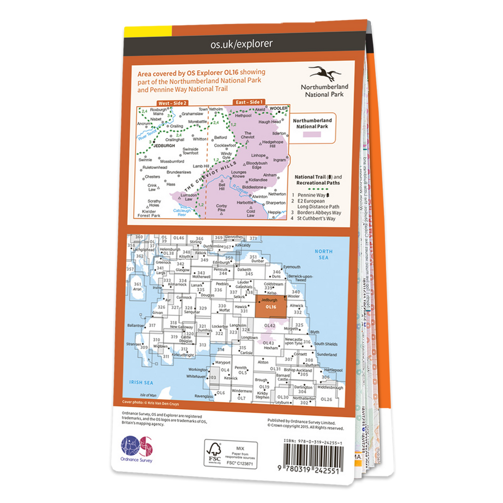


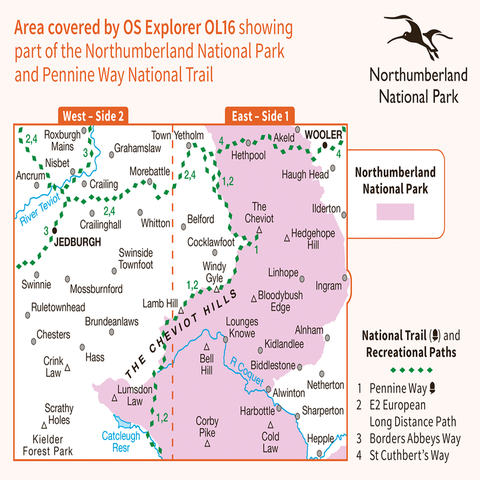

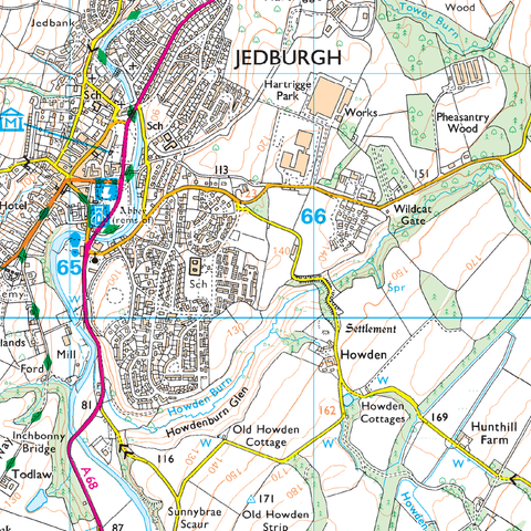
The OS Explorer map of the Cheviot Hills, including Jedburgh and Wooler.
Map sheet OL16 is a must-have when visiting the area. This map covers Jedburgh, Wooler, Alwinton, Harbottle, and of course the Cheviot Hills — a range of uplands between English-Scottish border, with the English section falling in Northumberland National park.
Other places of interest on this map are The Cheviot Catscleugh Reservoir, the River Coquet, the top corner of Kielder Forest Park, Linhope, Scarthy Holes, Crink Law, Bell Hill.
OS Explorer maps are perfect for day-tripping, extensive hikes, and cycling.
This map also comes with a free digital download, so you can access it across your devices — making for a more convenient companion.
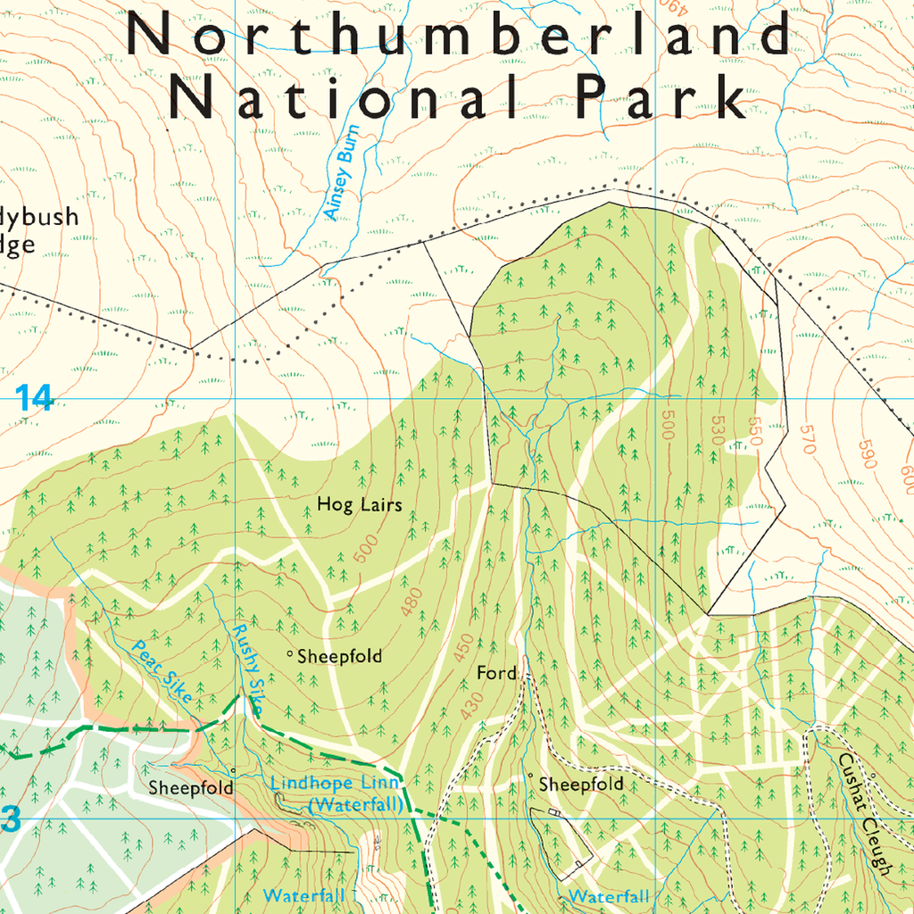
Explorer 1:25,000 Scale
Every 4cm on the map is 1km, making our leisure selection the most detailed maps; perfect for activities such as walking, running, and cycling.