Self led walking guides - Northumberland - FREE downloads RSS
Walk 27 - Warkworth - Easy Route
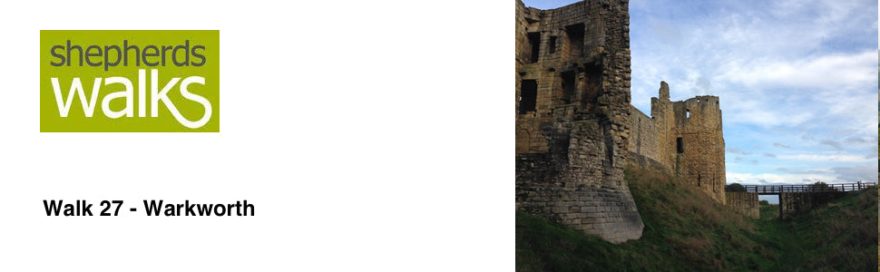

Distance: 2 miles (3.2 km)
Maps: OS Explorer 332
Walking time: 1 ½ hours
Start and Finish point: Stanners Car Park, Warkworth. If you are travelling down Warkworth High Street, heading north, turn left just before the ‘The Greenhouse’. Go down the side of the church (sign Car Parking) and then turn left just before the river. You can park anywhere on your right after that turning. Grid reference: NU246062
Walk 28 - Linear - Carriageway Drive - Moderate Route


Distance: 4.5 miles (7.2 km)
Maps: Explorer maps OL42 and 332
Walking time: 2 hours
Start: Thropton – Local Bus stop (grid ref - NU031021).
Finish: Rothbury – Local Bus stop.
Maps: Explorer maps OL42 and 332
Walking time: 2 hours
Start: Thropton – Local Bus stop (grid ref - NU031021).
Finish: Rothbury – Local Bus stop.
Walk 29 - St Cuthbert's Way Circular - Moderate route
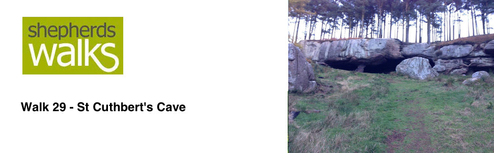

Distance: 4.5 miles (7.2 km)
Maps: Explorer Map 340
Walking time: 2 1⁄2 hours
Start: St Cuthbert’s Cave Car Park (grid ref - NU051351)
Walk 30 - Alnwick Pastures - Easy Route
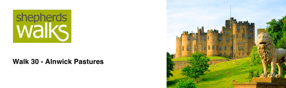

Distance: 3.5 miles (5.6 km)
Maps: Explorer map 332
Walking time: 1 1⁄2 hours
Start: Alnwick Market Place (grid ref - NU186133)
Maps: Explorer map 332
Walking time: 1 1⁄2 hours
Start: Alnwick Market Place (grid ref - NU186133)
Walk 31 - Budle Bay - Moderate Route
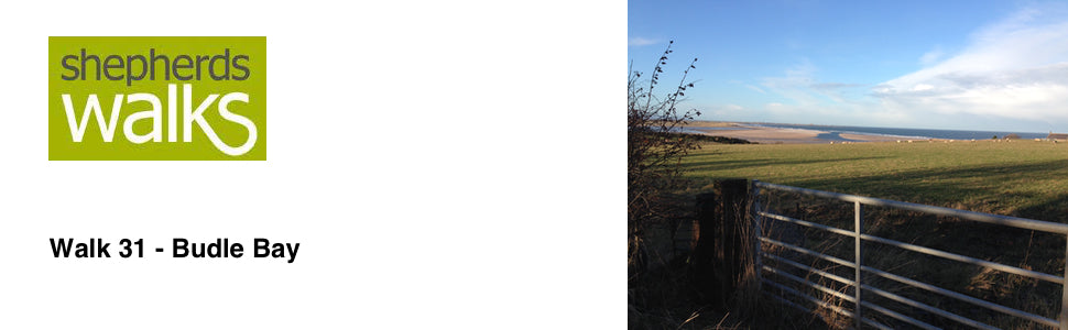

Distance: 3.5 miles (5.6 km)
Maps: Explorer Map 340
Walking time: 2 hours
Start: Budle Bay, Bamburgh
Maps: Explorer Map 340
Walking time: 2 hours
Start: Budle Bay, Bamburgh
Tags
- All
- Alnwick
- Alwinton
- Amble
- Barrowburn
- Beach
- Bellingham
- Blanchland Moor
- Bolam Lake
- Broadstruther
- Budle Bay
- Cambo
- Carey Burn
- Carriageway Drive
- Cheviot
- Cheviot Hills
- College Valley
- Coquetdale
- Dunstanburgh Castle
- Edlingham
- Fontburn
- free
- Hadrians Wall
- Happy Valley
- Harbottle
- Hareshaw Linn
- Hartburn
- Harwood
- Hauxley
- Hexham
- Ingram
- Kielder
- Lemmington
- linear walk
- Lordenshaws
- Mitford Castle
- Morpeth
- Mtford
- Northumberland
- Northumberland Coast Path
- Northumberland Walking
- Pastures
- Rothbury
- Rothbury Trenches
- Shaftoe Crags
- Shepherds Walks
- Simonside
- St Cuthbert's Cave
- The Cheviot
- The Schil
- Town Walk
- Usway Burn
- Uswayford
- walking guide
- Wallington
- Warkworth
- West Dipton Burn
- Whitton Hillhead
- Windy Gyle